

DRONE BLOGS


Blog | 01
Drones in Geospatial
Drones are widely used in geospatial studies for mapping, surveying, and 3D modeling.
Equipped with advanced sensors, cameras, and LiDAR systems, they provide high-resolution, real-time data more quickly and cost-effectively than traditional methods.


Blog | 02
Thermal Camera Drones
Thermal drones use infrared cameras to detect heat signatures, allowing them to operate in darkness, smoke, or fog. They are widely used for search and rescue, firefighting, inspections, security, and environmental monitoring.
This enhances safety, efficiency, and decision-making across industries.


Blog | 03
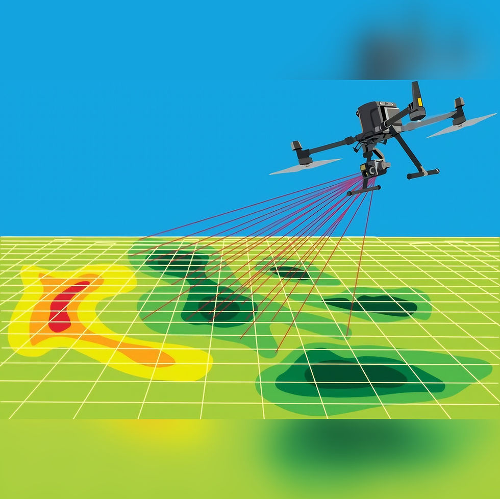
Multispectral Camera Drones
Multispectral drones capture data across multiple wavelengths beyond visible light, such as near-infrared and red-edge.
They are mainly used in agriculture, forestry, and environmental monitoring to assess crop health, vegetation stress, and land management.


Blog | 04
Hyperspectral Camera Drones
Hyperspectral drones collect highly detailed spectral data across hundreds of narrow bands, enabling precise material and surface analysis. They are widely used in mining, agriculture, environmental studies, and defense for tasks like mineral detection, crop monitoring, etc.


Blog | 05
Magnetometer Drones
Magnetometer drones measure variations in the Earth’s magnetic field to detect buried or hidden objects underground. They are commonly used in mineral exploration, archaeology, infrastructure inspections, and defense applications like locating unexploded ordnance.


Blog | 06
LiDAR Drones
LiDAR drones use laser pulses to create high-resolution 3D maps of terrain, structures, and vegetation. They are widely applied in surveying, forestry, construction, archaeology, and disaster management for accurate and efficient data collection.


Blog | 07
RTK Drones
RTK drones use real-time kinematic positioning to achieve centimeter-level accuracy in flight and mapping.
They are commonly used in surveying, construction, agriculture, and infrastructure inspections where precise geospatial data is critical.

Click to know more
Click to know more
Blog | 08
Drones in Defense
Drones play a vital role in defense by providing real-time surveillance, reconnaissance, and precision strike capabilities without risking human lives.
Their versatility enhances battlefield awareness, border security, and strategic military operations.

Blog | 09
Kamikaze Drones
Kamikaze drones, also known as loitering munitions, are unmanned aerial systems designed to hover over a target area before self-destructing on impact.
They combine surveillance and precision strike capabilities, making them effective for modern warfare.


Blog | 10
Fibre Optic Drones
Fibre optic drones use fibre optic cables for control and data transmission, ensuring secure, high-bandwidth, and interference-free communication.
They are especially useful in military, industrial, and hazardous environments where traditional wireless signals may be jammed or unreliable.


Blog | 11
Drones in Wildlife Monitoring
Drones are increasingly used in wildlife monitoring to capture high-resolution aerial data without disturbing animals. They provide researchers with efficient, cost-effective, and real-time insights into animal behavior, population counts, and habitat changes.


Blog | 12
Powerline Inspection with Drones
Drones are increasingly used for powerline inspection, offering a safer and more cost-effective alternative to manual checks. Equipped with high-resolution cameras and sensors, they can quickly detect faults, vegetation encroachment, and structural issues with minimal downtime.


Blog | 13
Wind Turbine Inspection with Drones
Drones enable efficient and safe inspection of wind turbines by capturing high-resolution images and thermal data without the need for manual climbing. This technology reduces downtime, lowers costs, and enhances the detection of blade damage or structural defects.


Blog | 14
Solar Panel Inspection with Drones
Drones are widely used for solar panel inspection, providing rapid aerial surveys with thermal and visual imaging to identify defects or inefficiencies. This approach enhances maintenance efficiency, reduces inspection time, and maximizes energy output.

Blog | 15
Drones in Disaster Management
Drones play a vital role in disaster management by providing real-time aerial surveillance, damage assessment, and search-and-rescue support in inaccessible areas. Their rapid deployment and data-gathering capabilities significantly enhance emergency response and recovery efforts.